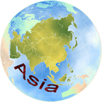
Source map from Wikipedia 1Wikipedia 2 Changed water color, changed island color, labeled features, applied WGA branding. And, applied region boundaries, and path through Oceania.
Compilation of Location Map of Marshall Islands with elements taken from Kiribati on the globe (Polynesia centered).License: CC BY-SA 3.0Both base maps by: TUBS
Select a Region on SVG map below:
Oceania's Capitals Quiz
Route Visualization Tool
The "Route Visualization Tool" accessed through the "Horizontal Menu" shows the "Route thru the World" depicted in an obvious manner with numbered circles over each country's capital. When a numbered circle is moused over the name of the capital followed by the name of the country belonging to the circled location is displayed.